 CYGURU
In photographs 3 Photographs
Documented photographs from different dates. Open an image to browse the gallery and its original source.
 Enlarge photo ↗

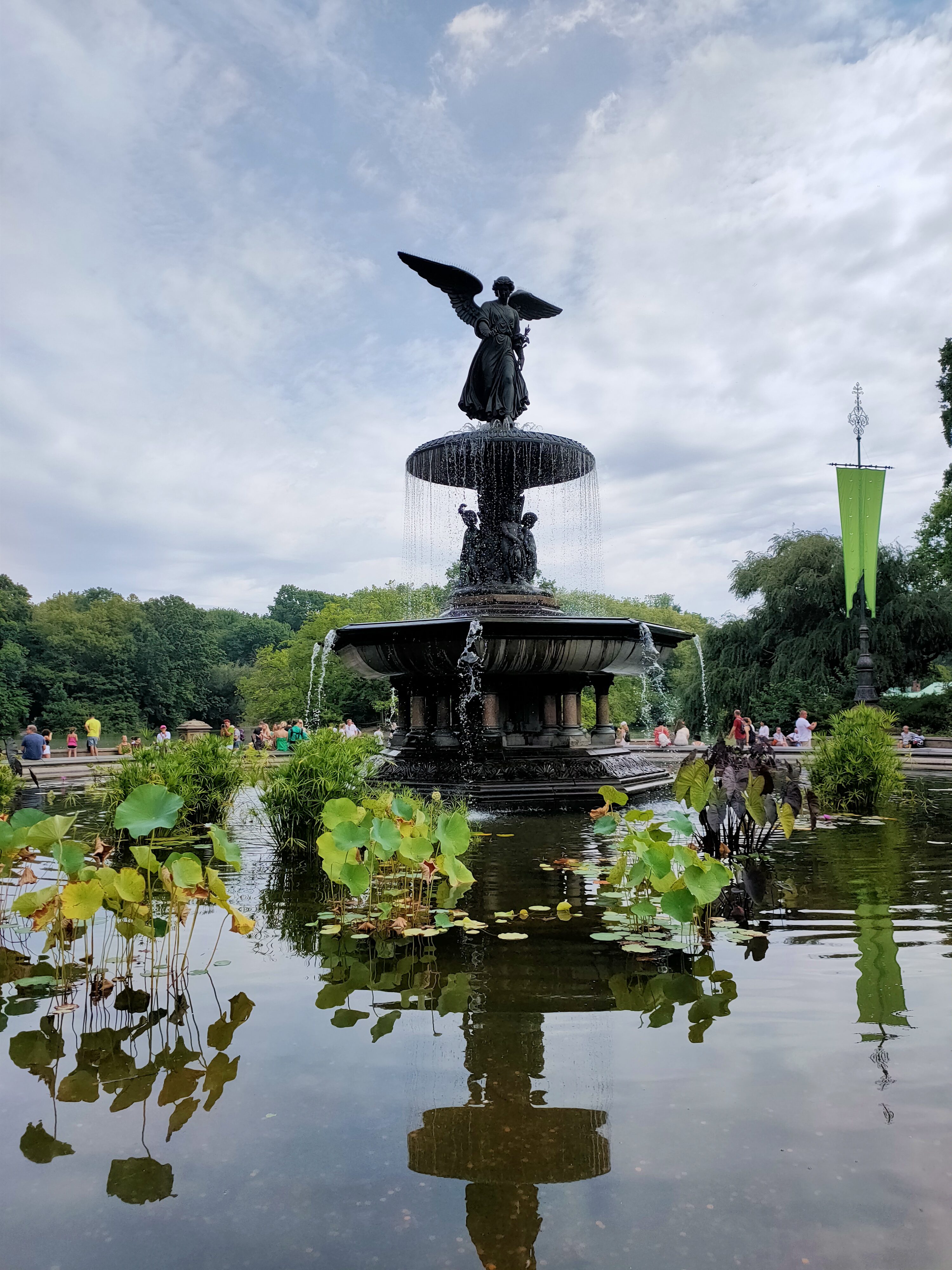 Enlarge photo ↗

 Enlarge photo ↗

Choose the actual park entrance, permitted walking section and exit using current Conservancy information. Verify route accessibility and facilities for your date. The city map is not a surveyed park walk; photographs do not establish current surfaces, foliage or activity availability.
Central Park Conservancy: Bow Bridge and its setting ↗
In this guide · 6 sections
Begin with a focused part of the park
The Central Park Conservancy describes Bethesda Terrace as a two-level plaza with an arcade and fountain. Its Bow Bridge guide connects the bridge with the Lake, the Ramble and a path toward the terrace. These provide useful starting points for a selective first visit.
Editorial planning suggestion: choose two or three features that interest you, then use the park’s own map to identify an entrance and exit that suit them. A named place in a large urban park is a destination within the landscape, not proof that every other landmark is a short walk away.
Look at designed space as well as scenery
At the terrace, compare the openness of the plaza with the more enclosed arcade. Pause to notice how architecture frames a view or changes the experience of moving between spaces. At the bridge, compare the crossing itself with a permitted lakeside viewing position.
Editorial viewing approach: let one detail guide your attention—stonework, reflected light, planting or the shape of a path—rather than collecting photographs of every landmark. Use permitted public routes and leave room for people passing through busy viewing areas.
Match the route to surfaces and conditions
Check the Conservancy’s current visitor information and access guidance before choosing a precise route. Ask about the path, gradients and facilities you actually need; the existence of a broad plaza or bridge in a photograph does not establish that the whole connection is step-free.
Editorial preparation: check the locality forecast and daylight, choose footwear for the confirmed surfaces and leave room to shorten the walk. Facilities and seasonal activities need separate checks. An autumn, summer or spring photograph is a historical record, not a forecast of foliage, visibility or path condition.
Keep park time separate from museum admission
The Met Fifth Avenue can be a separate cultural priority when planning this part of Manhattan. Decide whether you want a substantial museum visit or a focused outdoor walk, then leave realistic time for the other activity rather than assuming a city map supplies a walking duration.
This dossier introduces a selected area of the park, not a complete park itinerary or a surveyed walking loop. The New York City map is a locality reference rather than a park gate, and its weather widget does not certify the condition of individual paths. Historical gallery views span 2022, 2025 and 2026.
Plan the actual visit
Check opening, admission, access needs and the correct entrance with the official visitor source. Historical photographs do not establish current conditions.
Visitor information ↗Find on a map ↗