 CYGURU
In photographs 3 Photographs
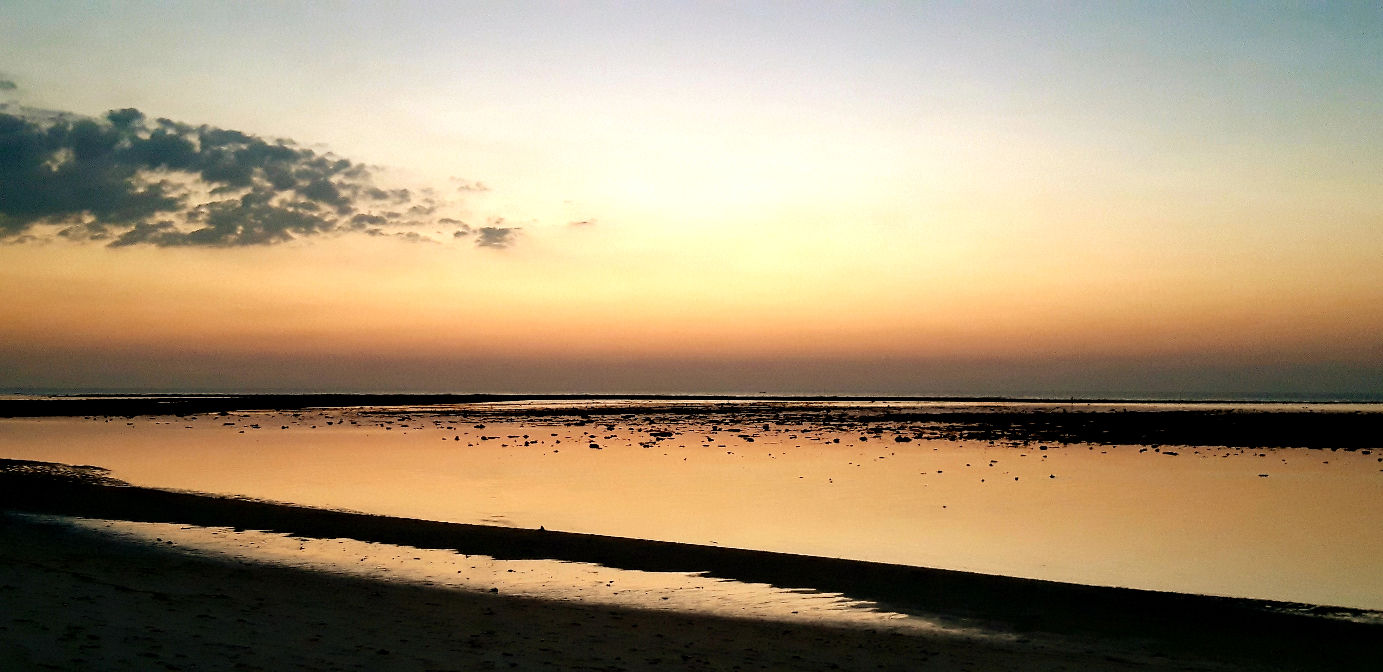
Documented photographs from different dates. Open an image to browse the gallery and its original source.
 Enlarge photo ↗

 Enlarge photo ↗

 Enlarge photo ↗

Tourism Authority of Thailand — Sirinart National Park ↗
In this guide · 6 sections
Understand a coastal park spread across several places
Sirinat National Park is in northern Phuket near the airport area. The provincial guide associates it with Nai Thon, Nai Yang, Mai Khao and Sai Kaeo, and describes coastal casuarina trees, beaches and coral habitat. It is a landscape with multiple sectors rather than a single attraction reached through one universal entrance.
Choose a particular area and purpose before travelling. A short shoreline walk is a different undertaking from a longer nature visit or an activity requiring park permission.
Choose a modest first visit
A suggested introduction is a manageable walk in an area currently open to visitors, with time to observe the transition between beach and coastal vegetation. Ask park staff which routes suit the day’s conditions and the needs of your group.
Do not assume that every named beach has the same facilities or access arrangements. Identify your return point before walking, carry what you need and keep the outing short enough for the heat and available daylight. The city map is an orientation aid, not a park boundary or trail map.
Protect the habitat you came to see
The official provincial description identifies these shores as sea-turtle nesting habitat. That does not mean a visitor will see nesting turtles or that access to a nesting area is permitted. Follow staff instructions and leave protected or cordoned areas undisturbed.
Keep a distance from wildlife, avoid handling animals or coral and remove your litter. Do not turn the proximity of the airport into a reason to enter restricted land or seek an unsafe photography position. A quiet visit should leave the beach and vegetation as you found them.
Check the park sector before departure
Confirm current opening, permitted activities, any closures and applicable admission arrangements with the park or official visitor information. The atlas does not publish a live fee or promise camping, swimming or marine excursions.
Plan your transport to the actual sector rather than simply entering the national park’s name into a route planner. The northern location should be treated separately from Kata or Promthep Cape. Allow conditions to determine the visit; the weather widget is an area forecast and does not establish current access or safe sea conditions.
Plan the actual visit
Check opening, admission, access needs and the correct entrance with the official visitor source. Historical photographs do not establish current conditions.
Visitor information ↗Find on a map ↗