 CYGURU
In photographs 3 Photographs
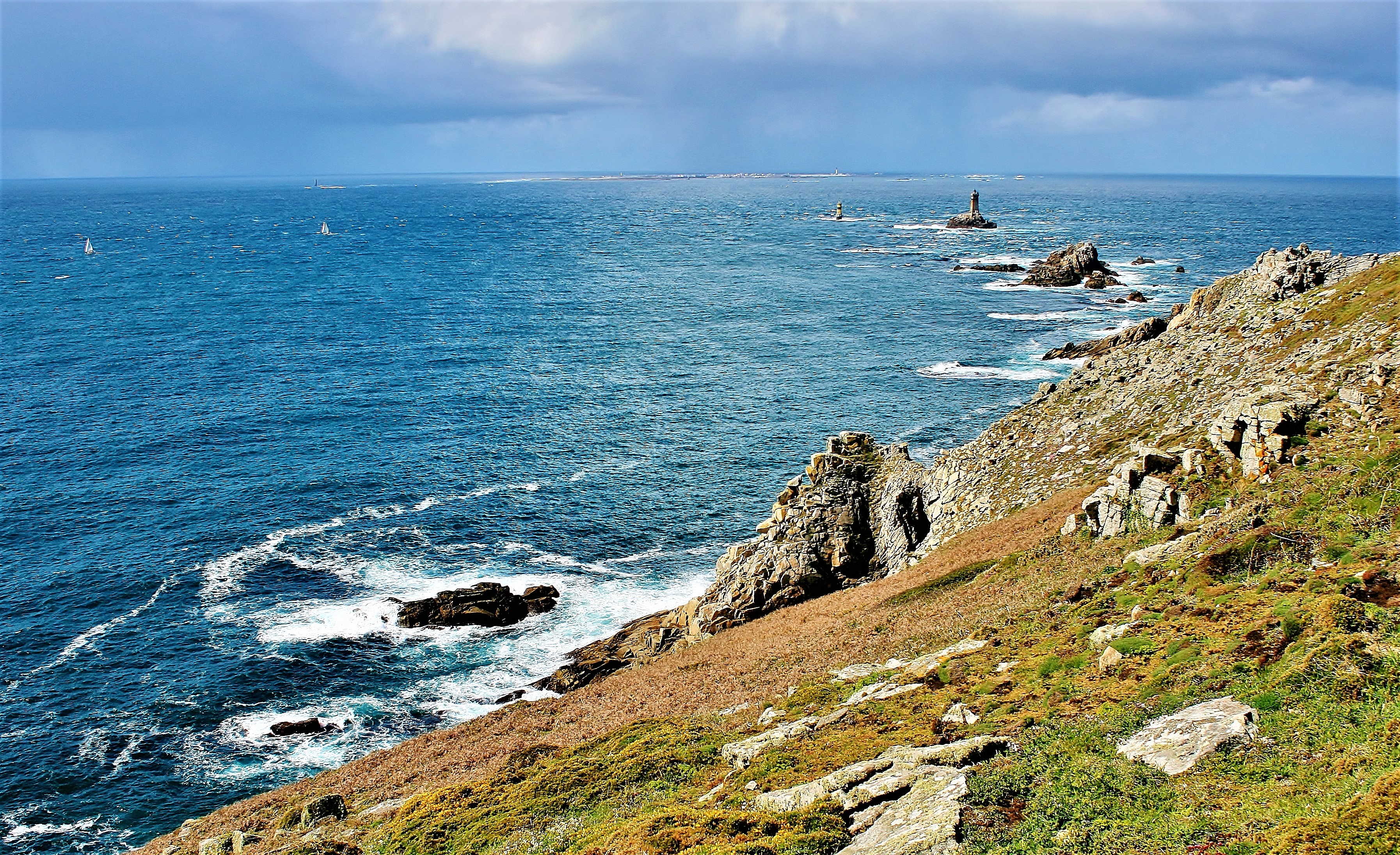
Documented photographs from different dates. Open an image to browse the gallery and its original source.
 Enlarge photo ↗

 Enlarge photo ↗

 Enlarge photo ↗

Reviewed 7 November 2026: the natural site is listed as accessible year-round. The published 2026 Maison de site and shuttle season ended on 1 November; confirm future services directly. Respect marked paths and any local closures.
Official Finistère visitor information ↗
Site visitor leaflet: path-safety guidance; service dates are historical ↗
In this guide · 6 sections
A coastal landscape to observe
Pointe du Raz is a headland at Plogoff, with a rocky coastal setting that rewards looking at the relationship between land and sea. Its locality in the atlas is Plogoff, rather than the name of a distant transport gateway.
Editorial viewing approach: pause at an authorised viewpoint and compare the shapes of the coast at different distances. The gallery documents three historical coastal views; it does not recommend replicating a photographer’s position or approaching the cliff edge.
Separate the headland from seasonal services
The official local tourism listing describes the natural site as accessible all year, while publishing a 30 March–1 November 2026 season for the Maison de site and shuttle. At this review date, that published service season has ended.
Check the next confirmed visitor-centre and shuttle arrangements before relying on them. Year-round access to a natural site is not a guarantee of staffed reception, transport assistance, exhibitions or unrestricted access during severe weather.
Stay on the authorised paths
The site’s published visitor guidance asks people to remain on the paths and not venture to the extreme point. Follow on-site signs and closures rather than choosing a route from a photograph or a general locality map.
Editorial planning advice: choose an outing that suits the day’s conditions and the group’s ability to return. A sunny forecast icon is not an assessment of exposed coastal paths, wind at a viewpoint or current restrictions.
Plan the approach and assistance
Use the official visitor information for arrival, parking and the approach from reception to the headland. The map on the locality page marks an approximate Plogoff reference point, not a car-park entrance or an accessible coastal route.
If mobility assistance is needed, confirm the service and exact operating date directly before travelling. Do not rely on older leaflets for current shuttle eligibility, timetables or charges; this atlas provides no live service booking.
Plan the actual visit
Check opening, admission, access needs and the correct entrance with the official visitor source. Historical photographs do not establish current conditions.
Visitor information ↗Find on a map ↗